.svg)


By combining field data collection with structured workflows and GIS integration, we help ensure that spatial data captured on site can be efficiently processed, analysed and incorporated into project datasets.

Effective spatial analysis and mapping depend on well-structured and reliable data.
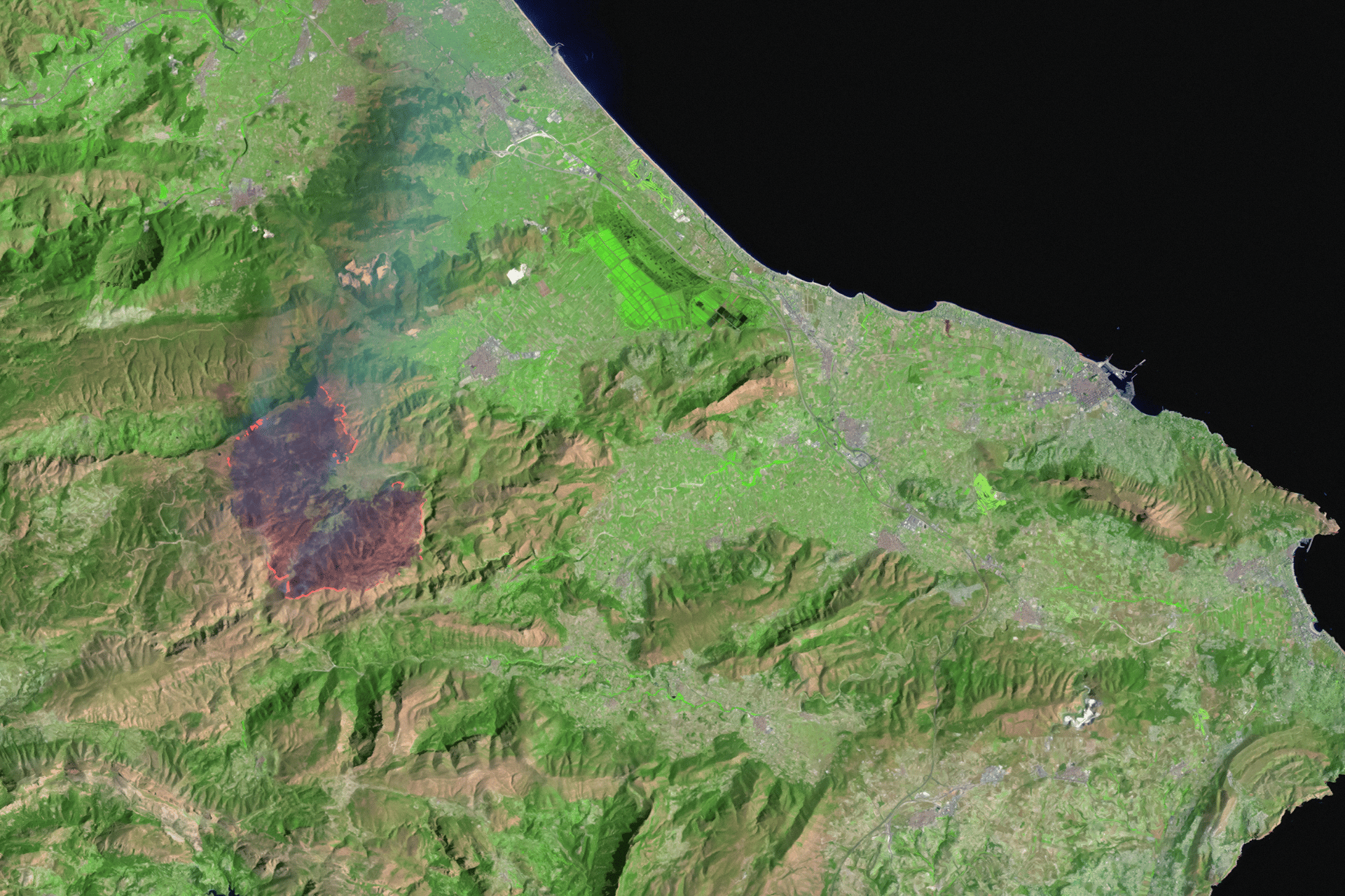
We provide advanced spatial analysis to support environmental assessment, project planning and spatial decision-making.
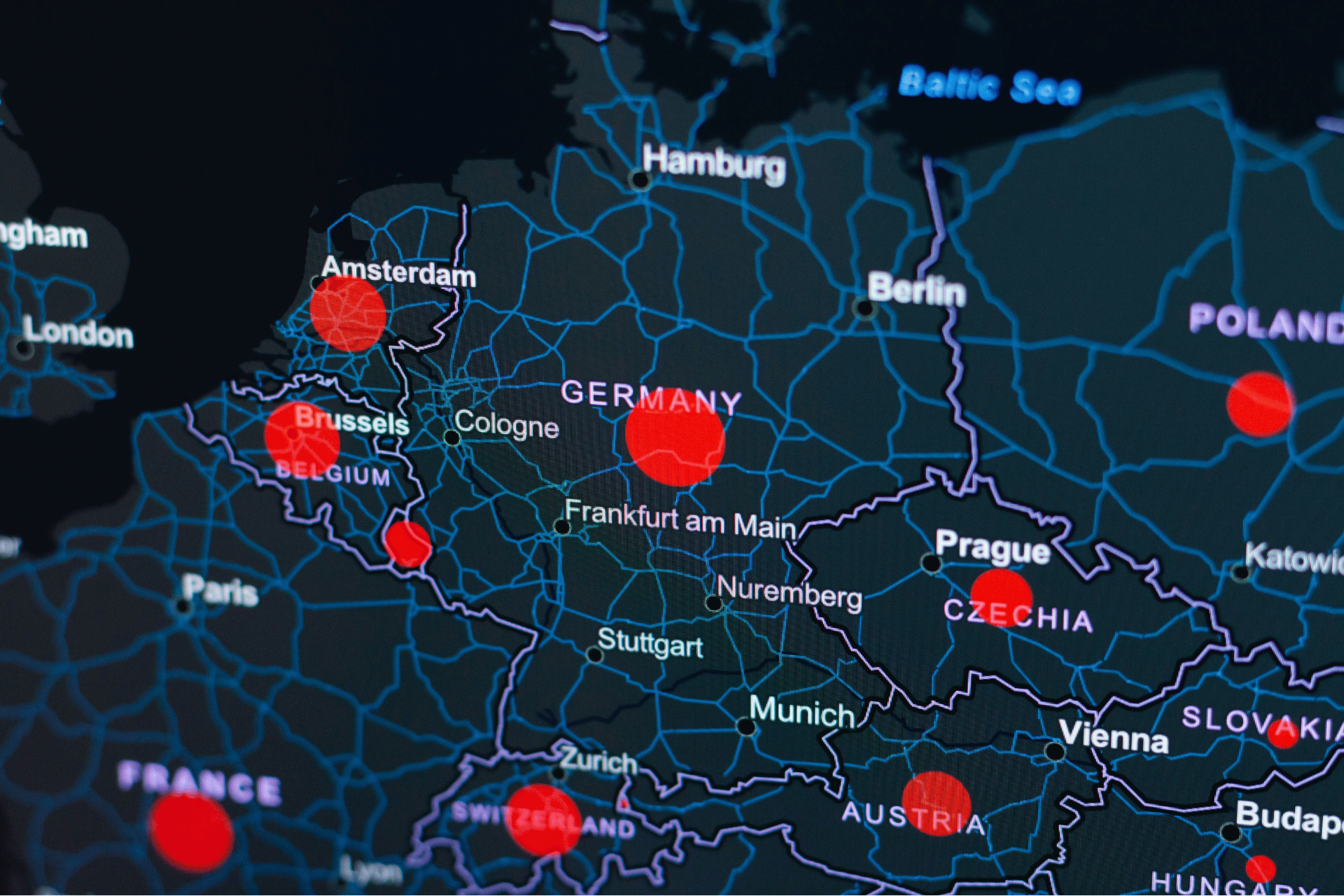
We provide professional GIS mapping and spatial analysis services to support environmental assessments, planning processes, and data-driven decision-making.
Whether you’re working in environmental assessment, planning, or infrastructure, we’re here to support your project with accurate mapping, spatial analysis, and practical expertise.
.svg)