


GNSS and DGPS technologies provide accurate location data for a wide range of spatial data collection tasks. We support the collection of precise spatial coordinates for features such as environmental survey points, infrastructure locations and asset records. By integrating GNSS data collection with GIS workflows, we ensure that field observations are accurately recorded and can be directly incorporated into spatial datasets and mapping outputs.
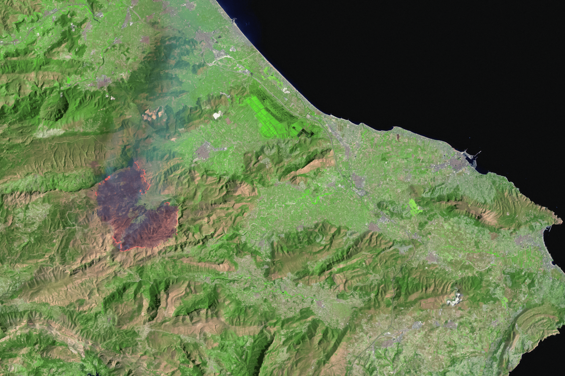
Drone mapping provides an efficient way to capture high-resolution spatial information across large or difficult-to-access areas. We use drone imagery to support aerial mapping, site inspection and environmental observation. Drone-derived imagery can be processed to generate orthomosaics, surface models and other spatial datasets that provide valuable spatial context for analysis, mapping and project assessment.
Our drone operations are conducted in accordance with Australian aviation regulations, and pilots hold a CASA Remote Pilot Licence (RePL), ensuring that aerial data capture is performed safely and in compliance with regulatory requirements.
Mobile GIS applications allow spatial data to be collected and managed directly in the field. We configure field applications to support efficient data capture, ensuring that field teams can record spatial information using structured forms, predefined datasets and integrated GPS functionality. These configurations help improve data consistency, reduce manual data processing and streamline the integration of field observations into GIS systems.
We provide professional GIS mapping and spatial analysis services to support environmental assessments, planning processes, and data-driven decision-making. Our work transforms complex spatial data into clear visual outputs and analytical insights that help clients understand constraints, evaluate opportunities, and communicate results effectively.
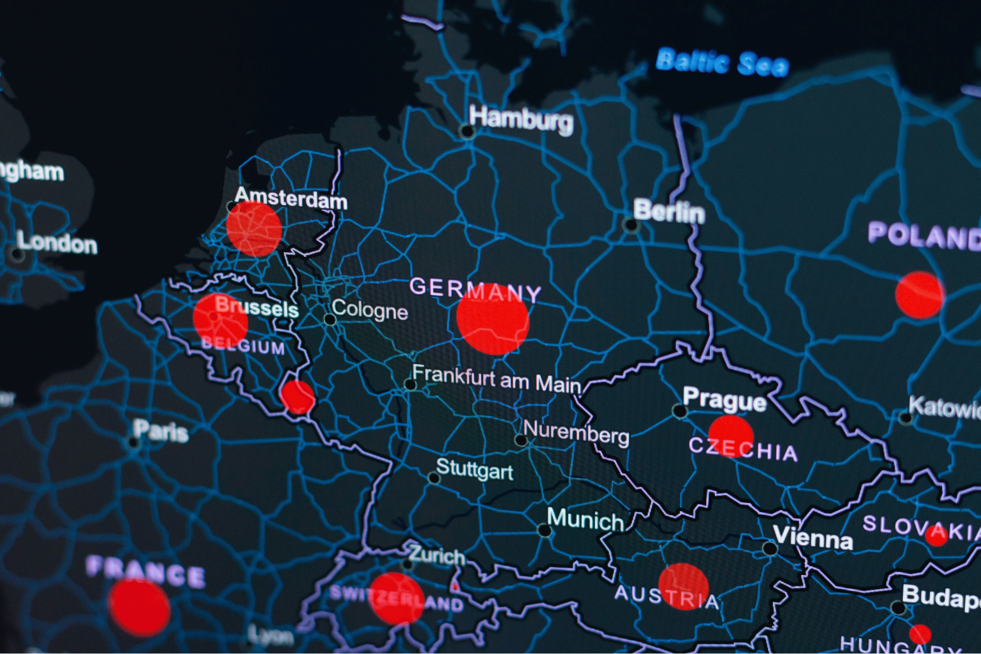
We provide advanced spatial analysis to support environmental assessment, project planning and spatial decision-making. By applying GIS-based analytical methods to a wide range of spatial datasets, we help identify spatial patterns, evaluate site constraints and opportunities, and generate insights that throughout entire project development and planning processes across environmental consulting, planning studies and infrastructure projects.

Effective spatial analysis and mapping depend on well-structured and reliable data. We provide spatial data management services that help organisations organise, maintain and improve the quality of their spatial and non-spatial datasets.
Whether you’re a farmer, distributor, or partner, we’re here to support your goals with sustainable solutions and global expertise.
.svg)