


We review and improve spatial and attribute datasets by identifying inconsistencies, correcting errors and standardising data formats. Through structured data cleaning and quality assurance processes, we help ensure that spatial information remains accurate, consistent and suitable for analysis, mapping and reporting.
We support the structured input and organisation of spatial and attribute data, including feature digitisation, attribute structuring and dataset organisation. This ensures that spatial data remains clearly structured, accessible and ready for use within GIS databases and operational workflows.
Organisations often need to transfer spatial datasets between different systems, formats or database environments. We support spatial data migration from legacy systems, spreadsheets or outdated formats into modern GIS platforms while maintaining data integrity and structure. We also integrate spatial and non-spatial datasets, enabling organisations to link geographic information with operational data such as asset records, survey data or project databases.
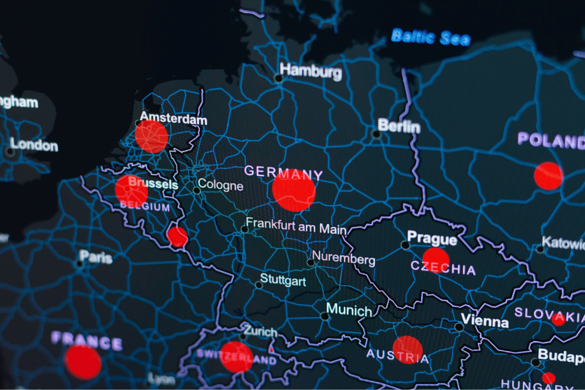
We provide professional GIS mapping and spatial analysis services to support environmental assessments, planning processes, and data-driven decision-making. Our work transforms complex spatial data into clear visual outputs and analytical insights that help clients understand constraints, evaluate opportunities, and communicate results effectively.
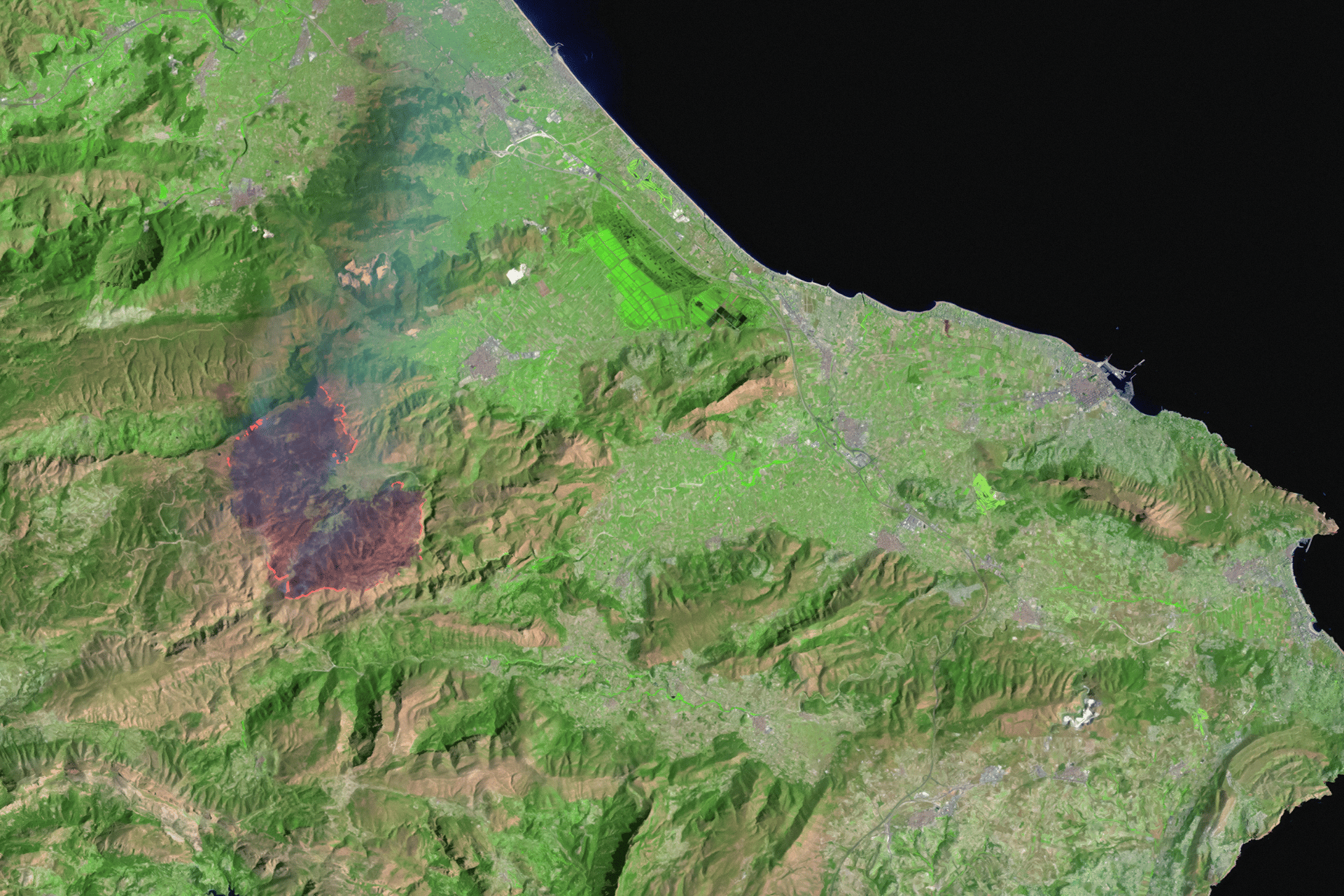
We provide advanced spatial analysis to support environmental assessment, project planning and spatial decision-making. By applying GIS-based analytical methods to a wide range of spatial datasets, we help identify spatial patterns, evaluate site constraints and opportunities, and generate insights that throughout entire project development and planning processes across environmental consulting, planning studies and infrastructure projects.

By combining field data collection with structured workflows and GIS integration, we help ensure that spatial data captured on site can be efficiently processed, analysed and incorporated into project datasets.
Whether you’re a farmer, distributor, or partner, we’re here to support your goals with sustainable solutions and global expertise.
.svg)