

We collect precise spatial data using high-accuracy GNSS, RTK and DGPS technologies to establish a reliable foundation for your project. From environmental survey points and infrastructure assets to remote site features, our field-to-office workflows support consistent recording, verification and integration into active GIS datasets.
Coordinate systems, field attributes and quality checks are configured to suit project requirements, reducing transcription and data transfer errors.
We capture high-resolution UAV imagery and process it into orthomosaics, surface models and project-specific spatial datasets. Terrain models can also be developed where vegetation cover, imagery and ground control provide suitable ground information.
Targeted aerial inspections support infrastructure and vegetation assessments in difficult-to-reach locations. We also support specialist ecological workflows through imagery of potential tree hollows, nest structures and line-of-sight conditions; habitat suitability and species-related conclusions remain with the relevant ecological specialists.
Flights are conducted by RePL-qualified remote pilots under the applicable CASA operating requirements and authorisations, with planning tailored to the site and mission.
We configure established mobile GIS platforms and design tailored data collection workflows to streamline field operations. Standardised layer schemas, attribute fields, data types, controlled dropdown lists and smart forms help teams record consistent, well-structured observations.
Validation rules and defined synchronisation workflows reduce manual clean-up and support data integrity as field observations move into your core GIS database.
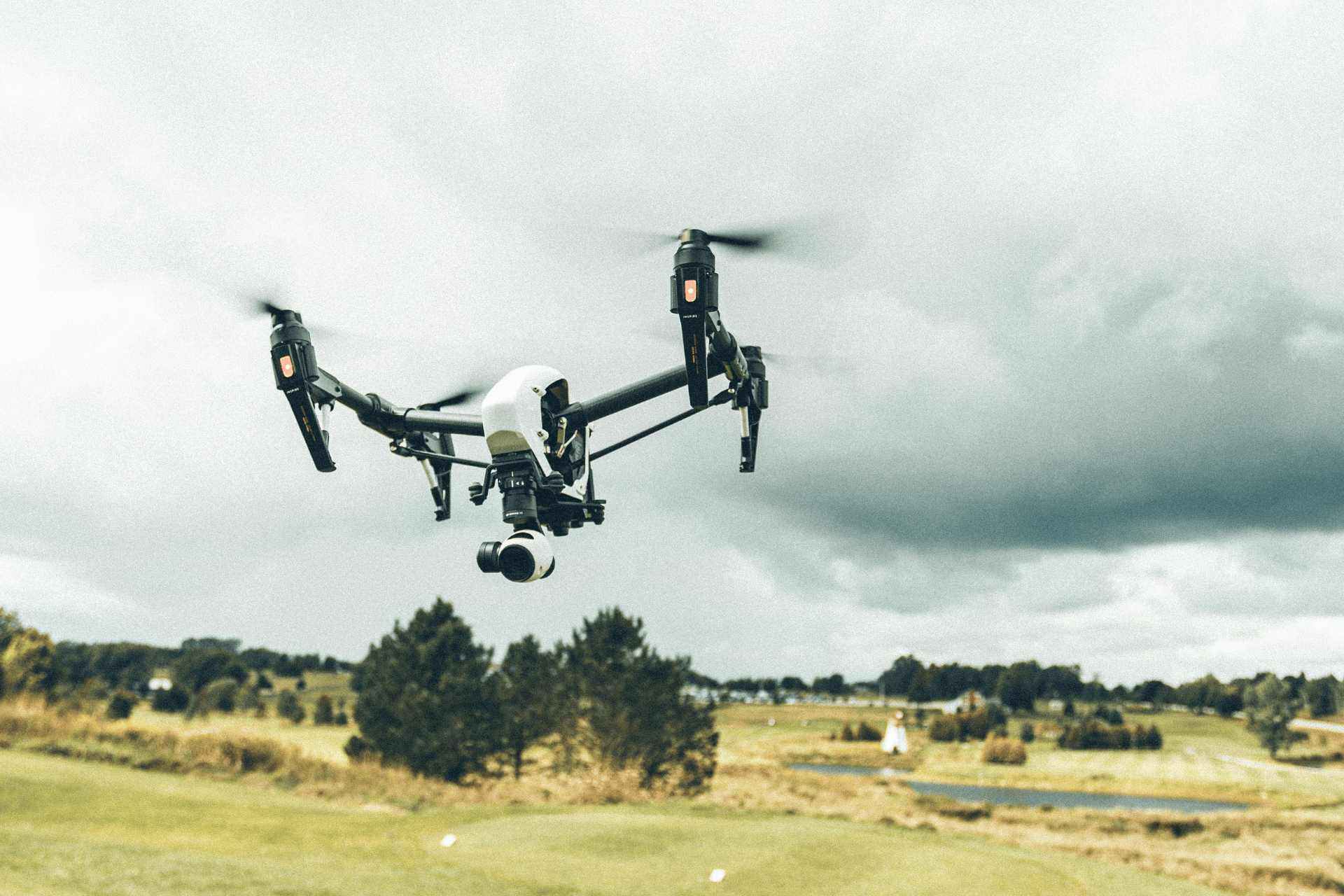
High-accuracy data collection using GNSS, UAV imagery, and mobile GIS. Ensuring a survey-grade foundation for reliable spatial analysis and mapping. Structured workflows for seamless integration into existing project datasets.

Ensuring well-structured and reliable datasets for effective analysis. Modernising legacy records through high-precision georeferencing and digitisation. Improving data quality and integrity for long-term project accessibility.
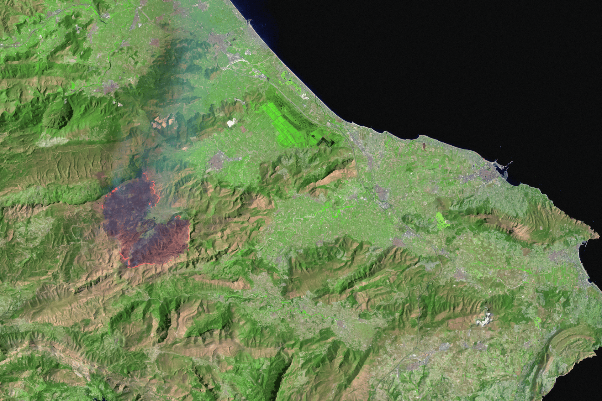
Advanced spatial modelling to support environmental and infrastructure projects. Applying GIS-based analytics to identify patterns, constraints, and opportunities. Generating deep insights for strategic project planning and decision-making.
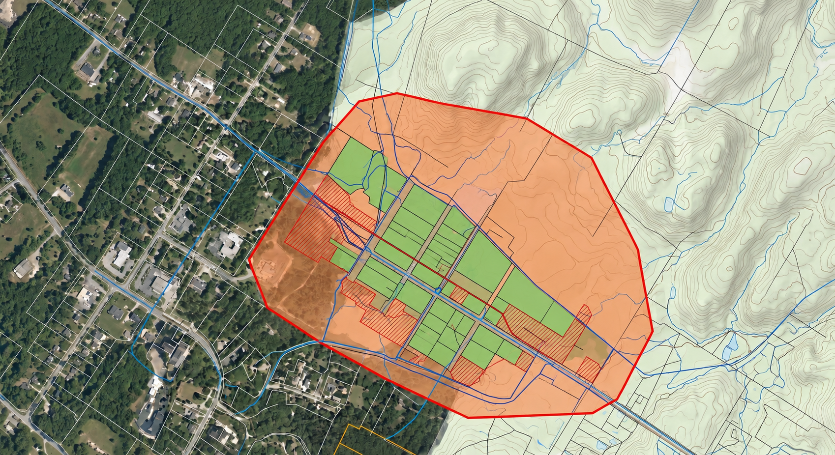
Professional GIS mapping aligned with GDA2020 and statutory standards. Transforming complex data into audit-ready visual outputs. Supporting Environmental & Planning sectors through data-driven decisions.
Perfect for small to mid-size farms getting started with smart farming tools.
Ideal for farms ready to scale up operations and efficiency.
For large operations or agribusinesses seeking full system integration and hands-on support.
Whether you’re a farmer, distributor, or partner, we’re here to support your goals with sustainable solutions and global expertise.


