

We provide high-quality GIS mapping across multiple sectors, transforming complex data into clear, well-structured visual outputs. Our maps support environmental assessments, planning submissions, bushfire hazard management plans, arborist reports and infrastructure studies.
By integrating government reference datasets, statutory planning overlays, field survey data and high-resolution aerial imagery, we produce technically robust deliverables tailored for inclusion in professional reports.
We support projects navigating local council and state planning approval pathways by clearly mapping spatial constraints, asset buffers and project impacts against relevant statutory requirements.
Deliverables are prepared to the applicable agency reporting specifications, including the required coordinate reference system (CRS), map conventions and data formats, to support clear, well-documented regulatory submissions.
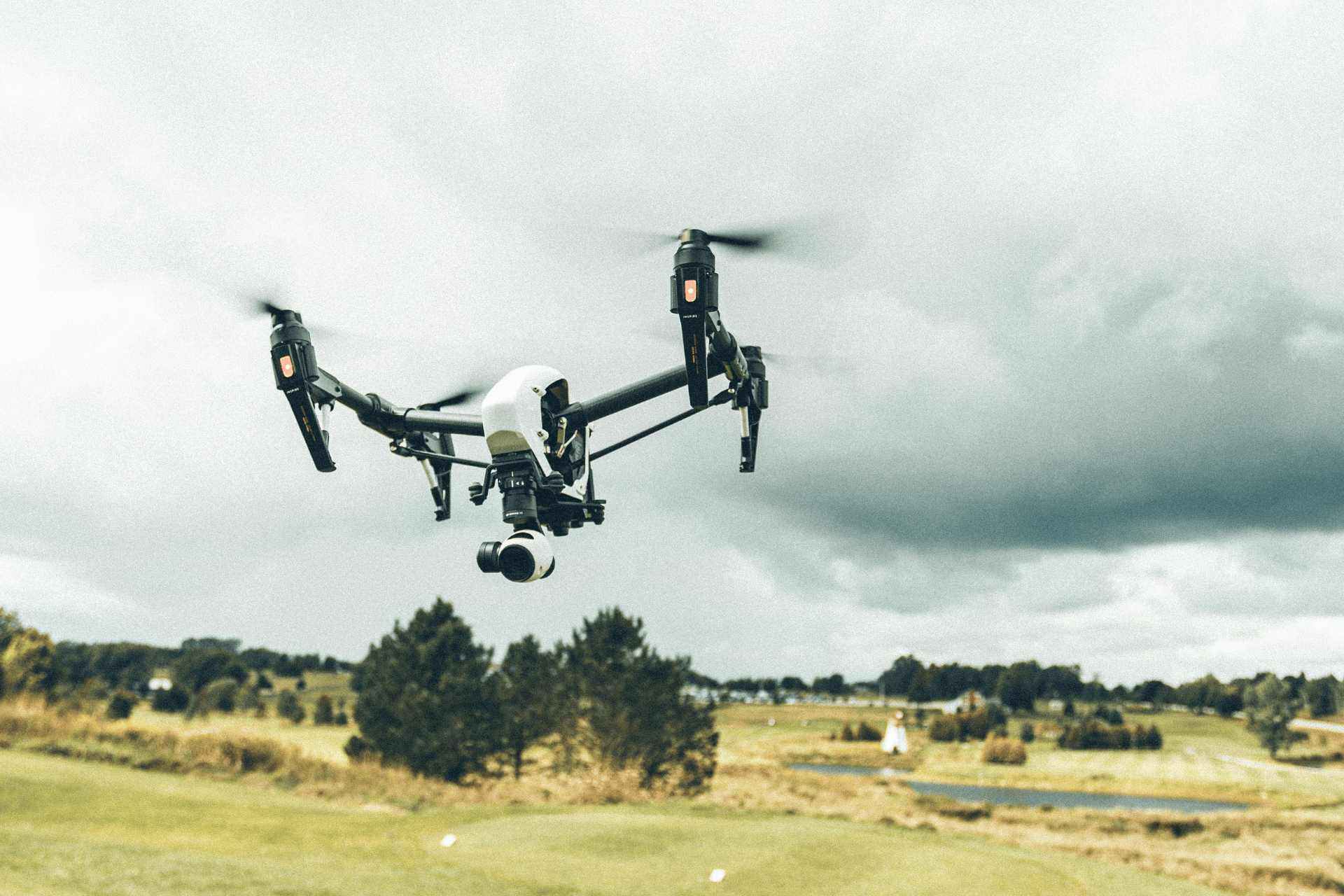
High-accuracy data collection using GNSS, UAV imagery, and mobile GIS. Ensuring a survey-grade foundation for reliable spatial analysis and mapping. Structured workflows for seamless integration into existing project datasets.

Ensuring well-structured and reliable datasets for effective analysis. Modernising legacy records through high-precision georeferencing and digitisation. Improving data quality and integrity for long-term project accessibility.
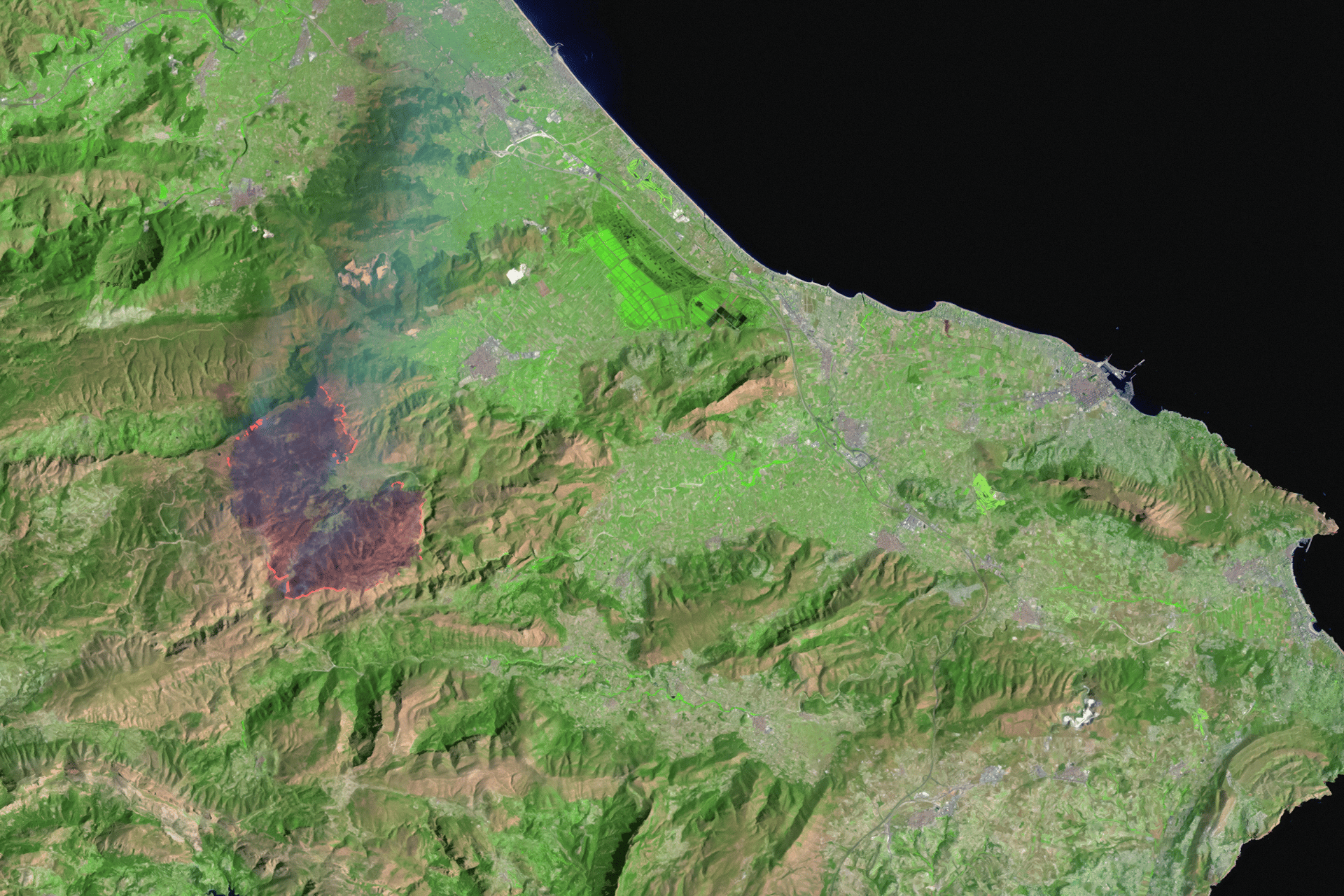
Advanced spatial modelling to support environmental and infrastructure projects. Applying GIS-based analytics to identify patterns, constraints, and opportunities. Generating deep insights for strategic project planning and decision-making.
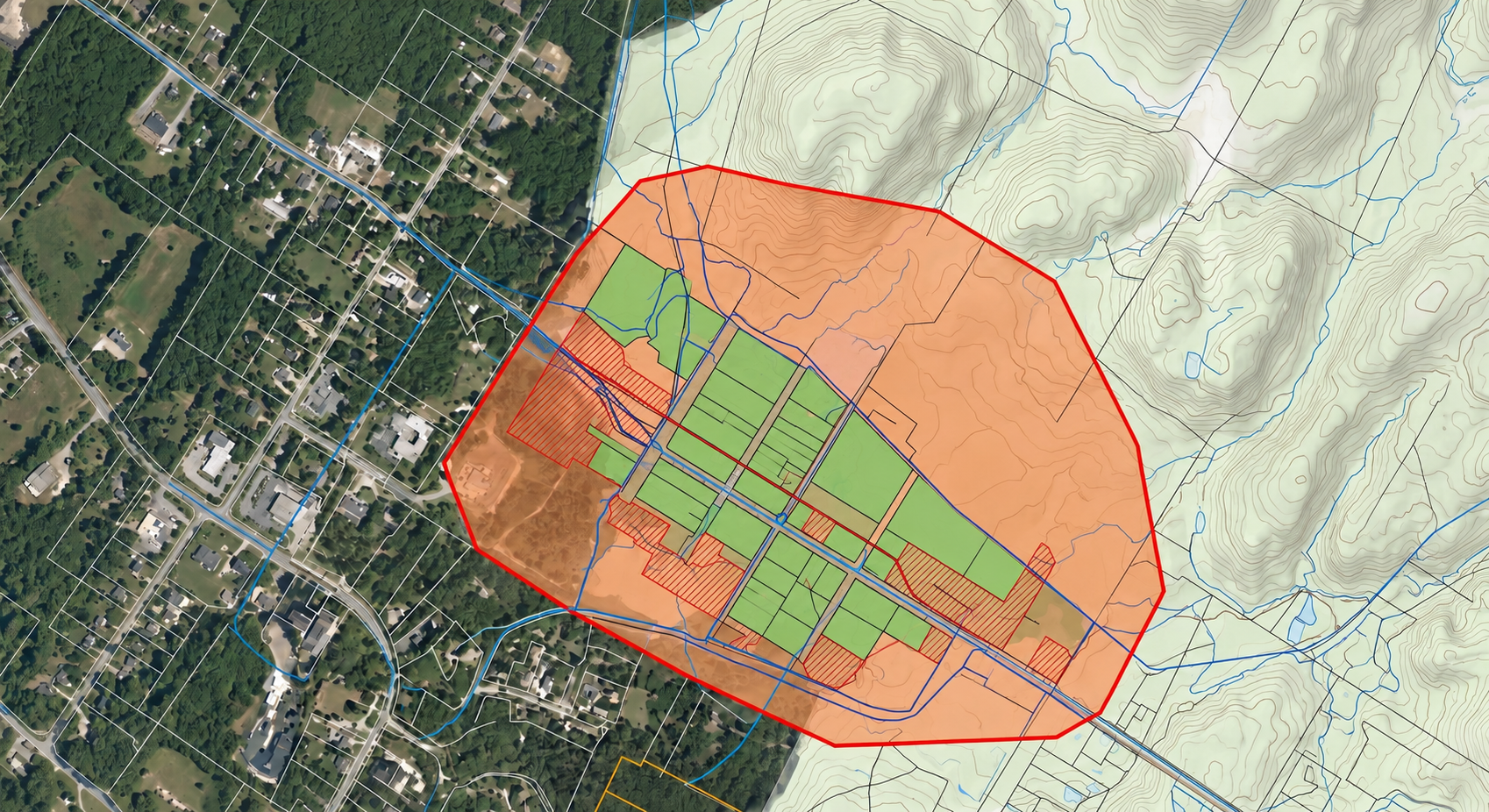
Professional GIS mapping aligned with GDA2020 and statutory standards. Transforming complex data into audit-ready visual outputs. Supporting Environmental & Planning sectors through data-driven decisions.
Perfect for small to mid-size farms getting started with smart farming tools.
Ideal for farms ready to scale up operations and efficiency.
For large operations or agribusinesses seeking full system integration and hands-on support.
Whether you’re a farmer, distributor, or partner, we’re here to support your goals with sustainable solutions and global expertise.


